For many, this may be a surprising headline. Wait, they might think, isn’t drone surveying an exciting development in and of itself? Well, yes, but for the decision makers in industry who have spent years and years eagerly awaiting an improvement to industrial surveying processes, there’s nothing new about drone surveying since they’ve been using drones for industrial surveying for as long as it’s been possible to do so.
Being able to complete surveying missions using an unmanned aerial vehicle was only the first leap forward. A welcome leap forward, for sure, but only the beginning. These next three developments are the ones that are changing the drone surveying game right now.
#1. BVLOS
BVLOS or beyond visual line of sight flights are ones in which the drone can be flown beyond the point where the pilot, operator or other drone supervisor can no longer see it. With many industrial organizations incorporating drones into their daily operations, government regulations are finally starting to catch up, with a number of nations now allowing BVLOS flights under certain circumstances, including Israel, Australia, Poland, Japan, the United States and South Africa.
This is a big deal in surveying because some of the most costly and time-consuming surveying missions are the long-range missions required for roadways, power lines, pipelines and telecommunications infrastructure. Without BVLOS capabilities, these surveying missions are still an onerous undertaking, even with all the advantages of a drone as a flight crew will need to move with the drone to keep it in the visual line of sight.
With BVLOS, however, these surveying flights are a breeze and can be undertaken without sending a crew beyond the organization’s base. The only possible pitfall that comes with BVLOS flight is the increased chances that pilot error can impact surveying results. That’s where the second exciting development in drone surveying comes in, though.
#2. Automation
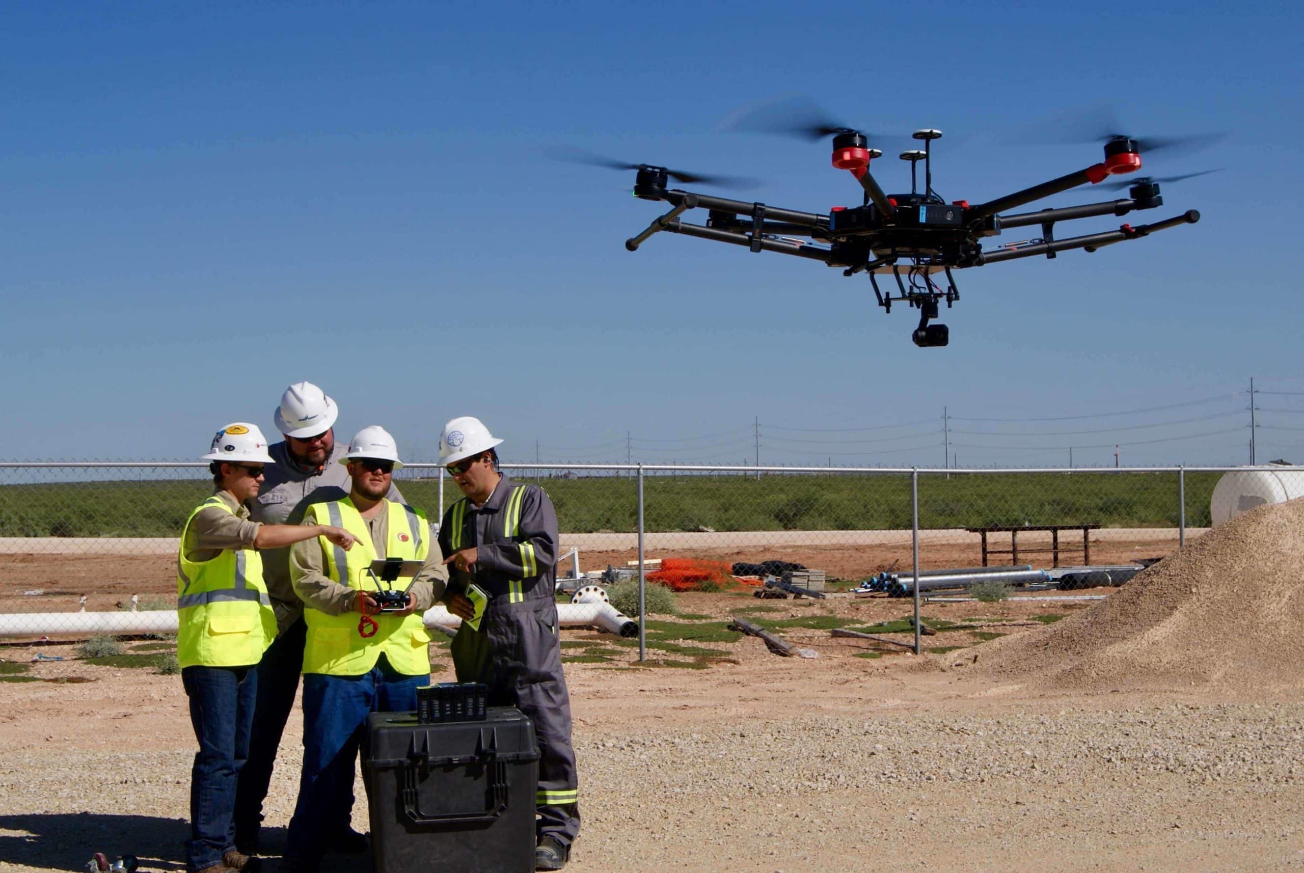
Nothing against drone pilots, but there are a couple of big drawbacks associated with them when it comes to surveying. The first is, as mentioned, the possibility of pilot error skewing surveying results, particularly during BVLOS flights which are more convenient for organizations but undoubtedly more difficult to fly. The second major drawback is cost. Having a drone pilot either on staff or on-call for surveying is a pricy proposition.
Fortunately, industrial drones built with end to end automation have arrived and are revolutionizing the way industrial organizations complete a lot of tasks, very much including surveying. Automated industrial drones eliminate the need for a pilot altogether by flying themselves in both VLOS and BVLOS flights, completing cost-efficient surveying missions with the highest degree of precision possible.
An added bonus that automation brings to drone operations is that leading automated drones can complete their own routine maintenance, including changing their own sensors, allowing an organization to easily use an industrial drone for multiple applications. For instance, when your surveying missions are complete, an automated drone can swap on a video camera to perform equipment inspections or surveillance, all without needing a pilot. Talk about efficiency.
#3. LiDAR
No, there isn’t anything new about LiDAR. It’s been industry-leading survey technology for a while now, with its ability to complete surveying missions in low light, penetrate vegetation and tree canopy to survey difficult terrain, and to produce the most accurate measurements currently possible.
What is new, though, are the lighter LiDAR sensors designed for leading industrial drones that are making LiDAR drone surveying cost-efficient and power-efficient. This combination of increased surveying capabilities and decreased costs will likely lead to LiDAR overtaking photogrammetry as industry standard for drone surveying, and organizations all over the world will be better for it.
Upward trajectory
Since industrial drones burst onto the scene, industrial surveying capabilities have been on a steady upward trajectory. What was once an expensive, time-consuming and dangerous process fraught with inaccuracies is now as simple as having your automated drone equip itself with a LiDAR sensor for a BVLOS surveying mission with the highest degree of precision possible. The only thing crazier than how quickly these developments have occurred is trying to imagine how much more advanced drone surveying might be a year from now.